The Locosys GT-31 has navigatiion capability where a course can be entered into the GPS and that the course can be tracked by following a directional bearing provided by the GPS.
The first step was to work out how to create and load a course into the Locosys GT-31. After a little bit of goolging, the following links proved useful:
- gmap-pedometer.com which can be used to plot a course.
- Plan GT-31 Route in Google Map
- Sect 1 - Windsor to Sackville (29.2 km)
- Sect 2 - Sackville to Wisemans (29.3 km)
- Sect 3 - Wisemans to Brooklyn (40.3 km)
- Sect 1 - Start to Sackville (29.2 km - gmap / trkpt gpx)
- Sect 2 - Sackville to Wiseman’s (29.3 km - gmap / trkpt gpx)
- Sect 3 - Wiseman’s to Finish (40.6 km - gmap / trkpt gpx)


After some data massaging (a long post in itself - email for details at present), the resulting section files were uploaded into the Locosys GPS. The Garmin Forerunner 301 would be used as a backup for data recording purposes.
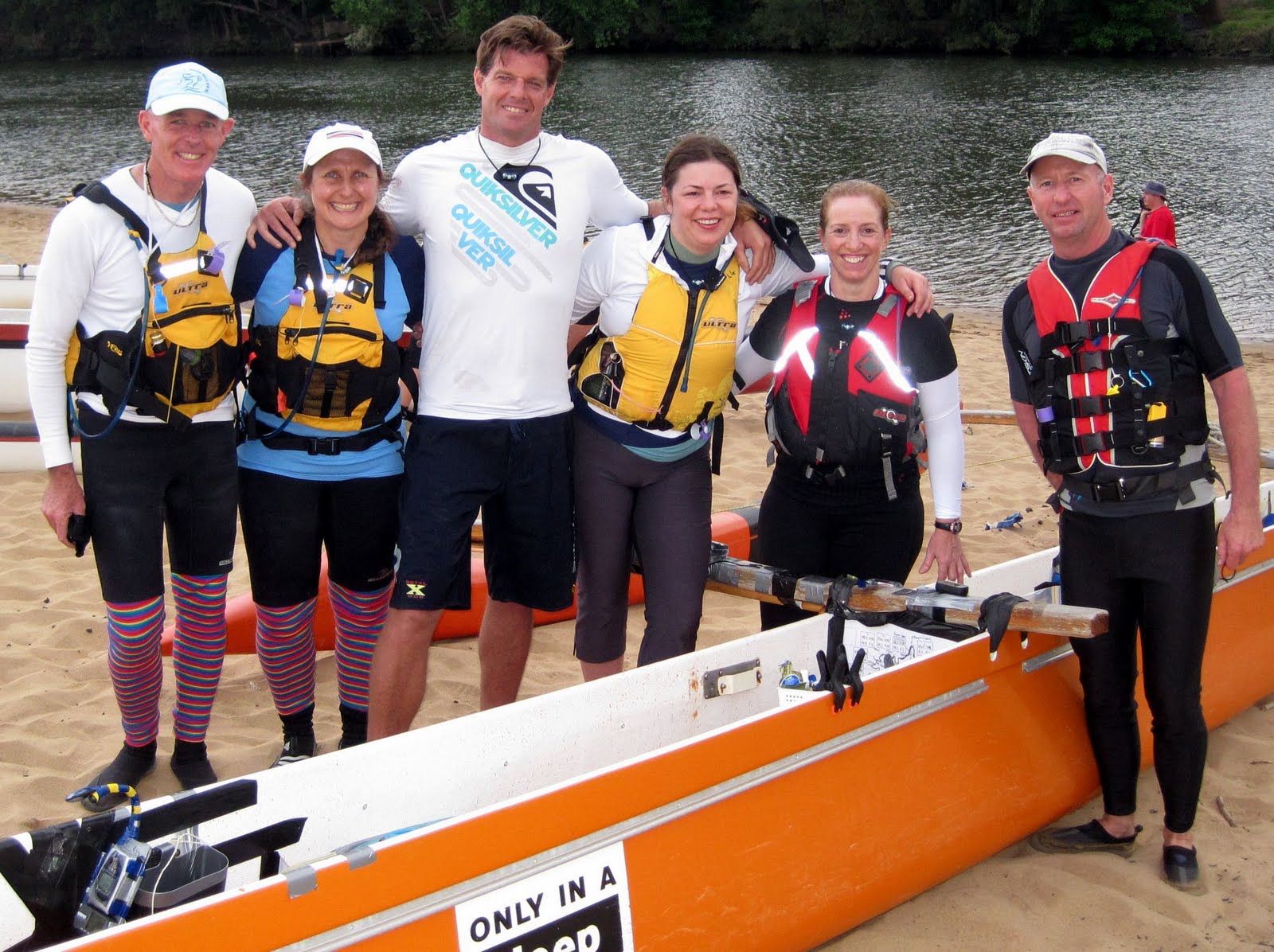
The next step was to come up with some kind of arrangement to see the GPS, particularly at night, where as a steerer, I did not have the opportunity to switch on the GPS Backlight. A booklight was suggested and an arrangement was planned for and put together on the day (see the following photo). The GPS can be seen in the bottom left corner of the Team Vela photo at the top of this post:

Having paddled the 2007 HCC, I had a GPS Result file which I could use to provide some estimates for arrival times at our pit stops at Sackville and Wisemans, to assist our great landcrew in preparing for our arrival.
One thing I found from the 2007 GPS Output, was that the distance travelled was 99.3km, which approximately 10% lower than the 111km length, the HCC has become famous. I also had a file with the Checkpoint GPS Cordinates (provided from the HCC website). These two files allowed calculation of the distances between each checkpoint so that a better estimate could be made of arrival times.
The other factor determining estimated arrival times was the tide. The HCC Organisers provided a Tide Chart and I plotted various arrival time lines (10, 11 and 12 hr) to determine where the tides would change. See the 2010 Tide Chart below, for more details:

With all this information in hand, the following table was constructed:

The Tide Estimate details were transferred onto an ammended HCC Progress Chart (see below). A laminated copy was available in the OC6 for the paddle.

It was nice to be prepared and I will write up later how it all went on the night.
No comments:
Post a Comment